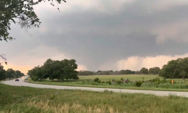
Over 25 million Americans on alert for severe weather across East Coast

Severe weather is threatening over 25 million Americans with damaging winds, large hail, and tornadoes on Saturday. The disruptive weather pattern that has been affecting the central and eastern United States is now shifting eastward, bringing with it the potential for severe storms and flash flooding.
The main severe weather threats for the affected areas include damaging wind gusts, large hail, and an isolated tornado risk from northern Virginia to New Hampshire. Flash flooding is also a concern for these regions and surrounding areas in the East.
New storms are expected to develop after 1 p.m. ET from the Carolinas to New York, moving eastward throughout the afternoon and evening. Some of these storms may become strong enough to produce damaging wind gusts, large hail, and possibly an isolated tornado.
While severe weather activity is expected to diminish before midnight, the threat of flash flooding will persist overnight, especially in areas experiencing heavier downpours.
The storm system responsible for the severe weather on Saturday is part of an “omega block pattern,” where two storm systems are trapped between a high-pressure area. This weather pattern creates sharp weather condition contrasts over a wide area, leading to stormy and wet conditions across the region.
Some showers may produce isolated flash flooding in the Northeast between Sunday and Tuesday, as the storm system continues to move eastward and tap into moisture from the Gulf.
On Friday, reports of hail larger than a tennis ball were received near Marquez, Texas, with widespread reports of hail the size of quarters or larger from Texas to New York. There were also reports of downed trees, power lines, and structural damage in Texas.
Moving forward, the western storm system will gradually progress into the central U.S. by Monday, bringing with it a renewed threat of severe weather and flash flooding. The severe weather threat on Monday is centered over central Texas, including Fort Stockton, Midland, Lubbock, and Abilene.
The primary risks for Monday include large to very large hail, damaging wind gusts, and flash flooding. Storms are expected to develop in the early to mid-afternoon as discrete supercellular storms, evolving into storm clusters by evening.
By Tuesday, the storm system will continue moving eastward, shifting the flash flooding threat to the Deep South. The highest flash flood threat is forecasted for eastern Texas, southwestern Arkansas, and northern Louisiana, including Texarkana, Arkansas; Lufkin, Texas; and Shreveport, Louisiana.
Other areas in the Southern Plains and Deep South are also likely to experience flash flooding on Tuesday, from Oklahoma to Mississippi. With the ground already saturated from previous rainfall, any heavy downpour early next week could easily trigger flash flooding.
In addition, the rainfall from these storms is gradually making its way into the Mississippi River, leading to elevated river levels. As a result, river flooding is anticipated across the Lower Mississippi River Valley due to the additional rainfall expected.


